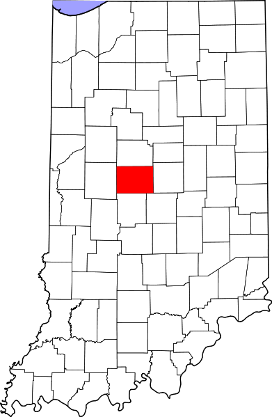
Map of Indiana highlighting Boone County.
Boone County is one of 92 counties in the state of Indiana. As of 2010 the population was 56,640. The county seat, Lebanon, had 15,792 people in 2010 as well. The county also has another moderatly sized small town named Zionsville. It's population was 14,127 in 2010. Boone County is just west of Hamilton County and all of its towns, and just north west of Marion County and Indianapolis (the state capital). Zionsville is in the extreme southwest right outside of Indianapolis. Lebanon is in the middle of the county.
Communities[]
Cities[]
- Lebanon
Incorporated Towns[]
- Advance
- Jamestown (partially in one or more other counties)
- Thorntown
- Ulen
- Whitestown
- Zionsville
Transportation[]
Interstates[]
- Interstate 65
- Interstate 74
- Interstate 465
- Interstate 865
US Highways[]
- US 52
- US 421
State Highways[]
- SR 32
- SR 39
- SR 47
- SR 75
- SR 267
- SR 334
Adjacent Counties[]
- Clinton County (north)
- Hamilton County (east)
- Marion County (south-east)
- Hendricks County (south)
- Montgomery County (west)